


Risk Map
Discover potential property risks in seconds.
From wildfires to flooding, every property carries risk. Open’s Risk Map evaluates the threats around any address — so you can make sure the right protection is in place.
Every U.S. market
Risk, mapped to the address.
Hazards scored per address
7
Federal data sources (FEMA, USGS, Census)
5
U.S. addresses covered
All
Built with owners managing 1M+ multifamily units and 500M+ commercial SF nationwide






Spot hazards early, stay ahead of the unexpected.
Search any U.S. address and the Risk Map scores its real hazards — flood, wildfire, wind, tornado, hurricane, earthquake, and heat — drawn live from FEMA, USGS, and Census data, so you have the insight to protect the investment with the right coverage.
Intended for informational purposes only. Open’s risk model approximates risk and is not intended to capture every possible hazard.
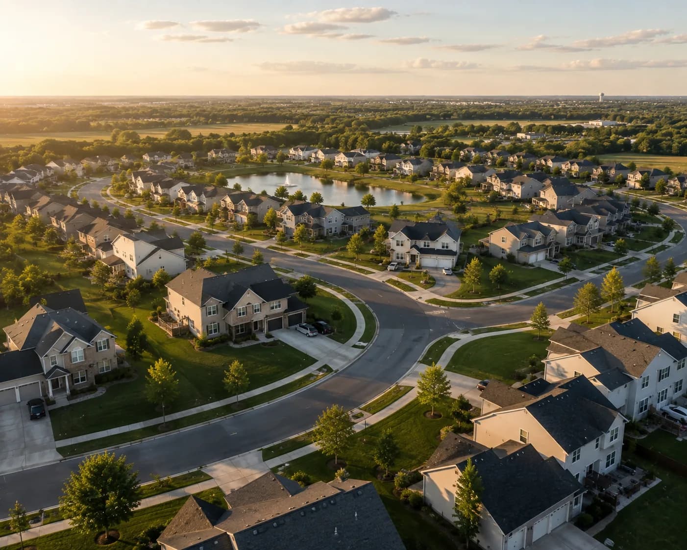
Flood
Wildfire
Wind
Be prepared for the unexpected.
Use the Risk Map to assess the threats around your portfolio — and make sure your coverage matches them.
See what your insurance data has been hiding.
Bring one property or the whole portfolio.
We will show you what Open can organize, enrich, and surface.
